The MangMap project for mangrove monitoring
Why monitor mangroves?
Mangroves are a natural heritage of the highest order. Preserving them is a major challenge, particularly for the ever-increasing numbers of people living along the coast. That's why it's vital tolearn more about and map this delicate ecosystem.
How do you monitor mangroves?
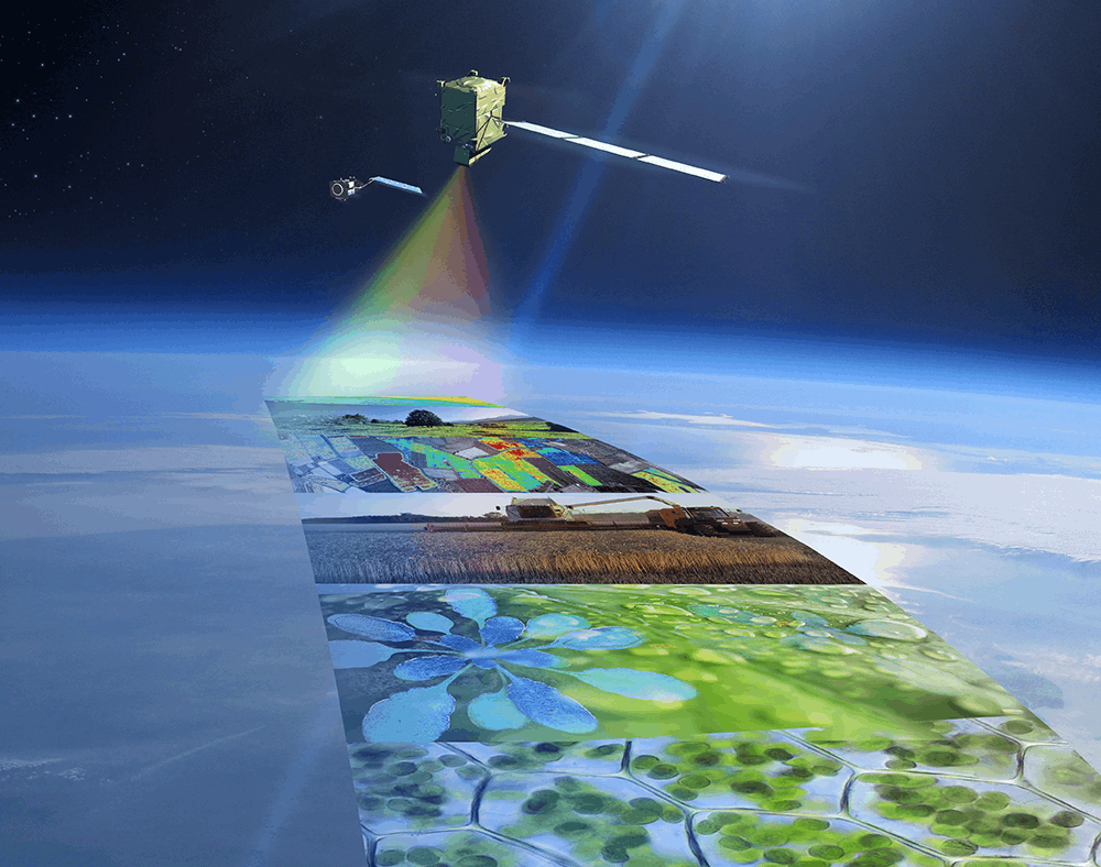
Space-based tools offer considerable advantages for characterising and monitoring the evolution of mangroves: repeated, calibrated measurements in these difficult-to-access environments, a multitude of available sensors, proven information processing methods. In this context, the Sentinel 2 Constellation offers free, high spatial resolution and high temporal frequency observations, enabling the production of indicators reflecting the dynamics taking place in these coastal environments.
What is Magellium Artal Group's role in the MangMap project?
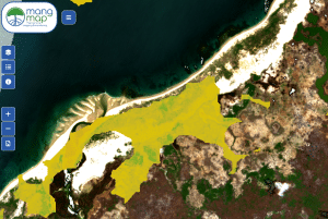
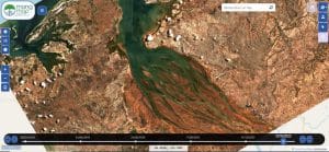
In this context, Magellium Artal Group has been entrusted with the implementation and maintenance of an operational portal following the completion of anIRD demonstrator. Version 1.0 of this portal aims to track 65 Sentinel 2 tiles (100*100km tiles) on the coasts of Madagascar, Mayotte, Gabon, Guyana and New Caledonia.
Technologies used :
- Front End: Opensource - PostgreSQL, Java, GeoServer, Angular
- Back-End: Sentinel 2 processing chain (L1C / L2A / L3A)
