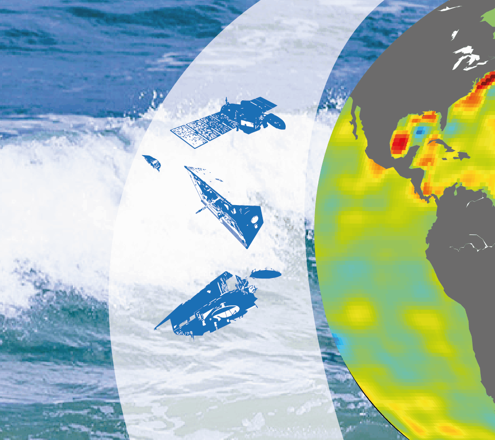
Earth observation and space surveillance
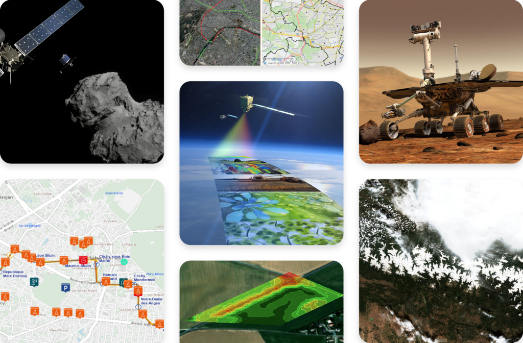
Experts in space imagery and geophysical and biophysical applications, we develop satellite image processingalgorithms and chains, and specialise in value-added products and services. We work on numerous institutional projects involving the monitoring of our planet and the fight against climate change.
Certified expertises!
Sensor geometry
Optimising satellite image geolocation
We accurately model the acquisition geometry of satellite images to optimise their georeferencing and facilitate downstream processing, for example by enabling data from different sources to be superimposed. Detailed modelling of the light path from the earth's surface to the satellite sensor, taking into account atmospheric effects and the optical system, is essential to guarantee accurate geolocation of the pixels in each image.
Our main aim is to rectify data to make it suitable for further specialised processing, such as fusion with other georeferenced data, cartography or geographic information systems (GIS). Our expertise in sensor geometry is particularly applied to satellite imagery, but also extends to images acquired by plane or drone.
Our technical expertise in sensor geometry
Geometric modeling
We build mathematical models approximating physical systems to improve geolocation with a physical understanding of the phenomena, and to operate the models accurately and efficiently.
Geometry refinement
Using beam fitting techniques, we optimise geometric model coefficients to improve image geolocation and inter-image registration.
3D reconstruction
Using techniques derived from computer vision, or more recently Artificial Intelligence, we reconstruct the Earth's surface in 3D from source images acquired from different angles.
Our references in this field
LibGEO - CNES
Generic geometric sensor modeling library, the French space agency's reference tool for all optical missions
CO2M - ESA
Prototype simulation and modeling modules for the 3 CO2M instruments CO2I, MAP and CLIM.
ARTEMIS - CNES
Reusable Multi-Image Satellite Expertise Processing Workshop - Geometric calibration (resampling, image correlation, model optimisation, geometric accuracy estimation)
Some images of our tools
Ground segment
From space sensors to scientific products
Our work in the ground segments of Earth observation space missions involves the scientific processing of data from optical or sonar payloads. From initial telemetry to the creation of enriched, easily interpretable products, we are involved at every stage of the process.
The processing stages, essential for generating level 0/1/2 products, are based on specialised algorithms for radiometric and geometric processing. These algorithms correct and enhance sensor data while ensuring accurate geolocation, in a manner specifically adapted to each type of sensor.
Our ground team is involved in all phases of a space mission:
- Analysis and definition of future mission objectives;
- Definition and calibration of sensors, simulation of instrumental data, prototyping of processing chains required to generate products;
- Operational development of processing lines ;
- Exploiting the processing capabilities of scientific payloads.
A range of technical skills
Satellite image analysis
Search for information, using dedicated tools, to check the quality of processing carried out by the ground segment.
Acquisition and processing chain
Collection of scientific data required to generate a satellite image
Prototyping and operational processing
Prototypes are used to verify the scientific relevance of algorithms and to specify industrial processing chains which are then deployed in an operational context.
Radiometric and geometric processing
Correction and enhancement of sensor data for geophysical content and precise geolocation
Our references in this field
Mission Metop SG :
3MI - IDS and GPP (Leonardo and CNES)
3MI instrument simulator and prototype data processing chains
PDAP MetImage (Eumetsat)
MetImage operational data processing chain
CO2M mission (CLIM, CO2I and MAP instruments): satellite mission to detect anthropogenic CO2 emissions
CO2M-E2ES (TAS/ESA)
Simulators for the 3 instruments
CO2M- IPF (GMV/Eumetsat)
Realisation of operational systems for telemetry processing and level 1 processing of CLIM and MAP instruments
ESA mission :
Flex and FLEX DISC - ESA
FLEX and FLEX DISC Data Center of Expertise covering processing chain aspects, in-orbit calibration and scientific level production, mission data enhancement
The ground segment in a few images
Sensor and Radiometry
Making the most of optical sensors
Thanks to our long experience in in-orbit calibration of optical instruments, we have the know-how and tools required to carry out radiometric and geometric calibrations on behalf of third parties. Based on the technical specifications of instruments and missions, we prepare a calibration plan involving the acquisition of specific sites, and on the basis of these actions, we calculate and deliver the ground or on-board radiometric and geometric parameters needed to get the best out of the corresponding instruments.
High value-added service
Initial calibration
In-flight acceptance: comparing sensor parameters during development with the reality of in-orbit acquisitions
Routine updates
At a variable frequency depending on the sensor, or exceptionally when a significant drop in image quality is observed.
Prominent member of RadCalNet
An initiative of the Comité des Satellites d'Observation de la Terre's calibration and validation working group.
Our references in this field
RadCalNet
We are in charge of the RadCalNet data access portal and inventor of the Gobabeb site in Namibia.
In-Flight Recipe / Calibration
For over 15 years, we have contributed to numerous flight acceptance and calibration activities, including Pléiades HR 1 & 2, Sentinel-2A & 2B, CSO-1 & 2, etc.
ARTEMIS
We are developing the ARTEMIS workshop for CNES, dedicated to geometric calibration, which will reinforce France's central role within Europe in optical Earth Observation systems.
In-orbit calibration in a few images
Environmental applications & Climate change
From science to environmental monitoring
We work with space and environmental agencies and leading scientific laboratories to monitor the environment, transforming space data into value-added products in fields such as climate change and hydrology. Our activity contributes to scientific research and enables us to develop and operate operational environmental monitoring services. Our team has specific expertise in Earth observation space data.
For the study of climate change, we study sea level variations, ocean heat content and the Earth's energy imbalance.
In hydrology, we develop, generate and distribute high-resolution products for monitoring snow, ice and water quantity and quality. These data are assimilated into hydrological models to improve flood and drought forecasts, for example.
This work enables us to specify future space missions and assess the impact of public policies on reducing greenhouse gases.
Our recognised expertise in climate change and hydrology
Scientific studies and assessments using spatial data
Our team is developing collaborations with leading French, European and international scientific laboratories to support research and contribute to advances, particularly in the field of climate change.
Remote sensing
We process data acquired using a variety of techniques, including gravimetry, altimetry and optics.
Analysis of satellite observations
We carry out a number of data processing operations involving applied mathematics, statistical processing and metrology.
Process chain development
We develop algorithms and software tools for scientific calculations and satellite data processing chains.
Setting up operational services
Our expertise ranges from understanding and interpreting user needs, to the development and algorithmic evolution of Earth observation systems, right through to the operational production of real-time data.
Our references in this field
MOHEACAN - ESA & CNES
Estimating global ocean heat content from geodetic space observations
Climate Change Initiative - ESA
Analysis of the closure of the sea balance and the Earth's energy imbalance
Sentinel 3 Next Generation - ESA
Analysing the performance of future space altimetry missions
Copernicus HR-WS&I - EEA
High-resolution, near-real-time monitoring of snow and ice in Europe and Turkey
OBS2C0 - CNES
Development of an automated processing chain to monitor water quality via satellite
FR2030 Spatial Hydrology
Monitoring water quality and temperature in French waters
SEED-FD
Improved detection and forecasting of floods and droughts using Copernicus Earth observation data
HydroVenture
In a broad public/private partnership, we are building Europe's first center for operational space hydrology.
Some images generated by our teams
Space surveillance
Detecting and tracking space objects
Since 2015, we have been developing expertise and solutions in Space surveillance on the function of detecting and tracking space objects (satellites and debris), from the ground or onboard satellites.
A range of high-performance solutions
Classic algorithms
Tailor-made development of detection and tracking algorithms, building up a state-of-the-art software portfolio for these functions
Artificial Intelligence
As an alternative to conventional methods, with very promising work on denoising or detection
Adaptable to all types of optical sensors
From ground-based telescopes to satellite payloads
Simulator development
Optical spatial scene simulator remarkable for its representativeness and versatility, invaluable for exploratory work, qualifying solutions, training neural networks and training operators.
Our references in this field
TAROT - CNES
We are responsible for the detection and tracking of space objects and debris, operational since 2015 on the TAROT telescope network.
EU SST
Development in 2020-2021 of the "high-fidelity" simulator and new functions for detecting and tracking space objects
CoS3 - CNES
France 2030 project operated by CNES. As co-contractors with ArianeGroup and Eutelsat, we are developing the spaceborne version of this object detection and tracking function.
Panoptès - Sodern
As a subcontractor of Sodern ArianeGroup, we are developing a tool for detecting and tracking intruders/debris from space, with an on-board function for real-time operation.
Some images in this area
If you're a thematic engineer, we need you!
We're looking for our future colleagues in a wide range of specialised engineering fields! Explore our many job opportunities and start a new chapter in your career with Magellium Artal Group.
Do you need a ready-to-use or customised solution?
Discover the many sectors of activity in which we operate
From space and defense to security, transport, energy, environment and climate, we are present in a wide range of sectors. Have you found your sector?
+150
customers place their trust in us
+10
different business sectors
FAQ
Are your Earth observation solutions exportable?
Yes, subject to compliance with national (export licenses) and European (dual-use goods) regulations, depending on the project and country of export. Magellium is familiar with the relevant procedures.
Can you provide cloud-compatible solutions?
Most of our solutions are natively cloud-compatible. As an example, our pan-European Copernicus Snow and Ice Service, launched in 2020, was the first fully automated Copernicus service deployed on a cloud and using its advanced functions.
How much computing power do your image channels need?
Computing capacity requirements vary according to the volume of data acquired and the complexity of the corrections to be made. We propose two types of architecture to meet two different needs:
- Standalone architecture, capable of running on a standard workstation for expertise or prototyping needs
- Server farm, HPC or cloud architecture for production use
What's more, we act as an independent advisor to cloud hardware and service providers.
Do you have any question?
We'll get back to you as quickly as the satellite data takes to reach the operator.