L’ingénierie de la donnée au
service de la Planète
et des Territoires
Depuis 26 ans, nous proposons des solutions à forte valeur ajoutée et maîtrisons toutes les technologies d’imagerie et informatiques, de la donnée image aux systèmes logiciels complexes.
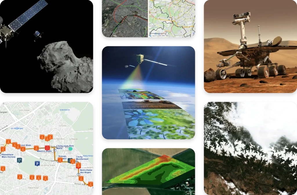
Nous sommes présents dans de nombreux projets français, européens et internationaux. Retrouvez sur sa page dédiée une liste non-exhaustive des projets dans lesquels nous avons participé ou participons actuellement.
Nous sommes à la recherche de nos futur(e)s collègues dans de nombreux domaines ! Explorez nos multiples offres d’emploi et commencez un nouveau chapitre dans votre carrière chez Magellium Artal Group.
Nos expertises de pointe s’appliquent à de nombreux domaines
Traitement d’image, cartographie, robotique, intelligence artificielle, géo-intelligence, développement logiciel, nous sommes une entreprise d’ingénierie qui œuvre dans les domaines les plus généraux comme des plus spécifiques de l’ingénierie.
Optimisez l’efficacité de
votre projet grâce à nos
solutions clés-en-main
Nos solutions sont conçues pour répondre à vos besoins les plus complexes afin de propulser votre projet vers la réussite. Nos solutions peuvent s’appliquer en fonction du besoin, prêtes à l’emploi ou sur-mesure.
Découvrez les nombreux
secteurs d’activité dans
lesquels nous intervenons
Du spatial à la défense, en passant par la sécurité, les transports, l’énergie ou encore l’environnement et le climat, nous sommes présents dans de nombreux secteurs d’activité. Trouvez-vous le vôtre ?
Magellium Artal Group a plus de 26 ans d’expérience en ingénierie de la donnée, imagerie et technologies informatiques. Nous utilisons l’innovation et le savoir-faire pour répondre aux besoins de nos clients, même les plus spécifiques et complexes. Acteur dans notre écosystème, nous prônons des valeurs fortes qui font sens et privilégions des engagements réalisables et des actions concrètes.
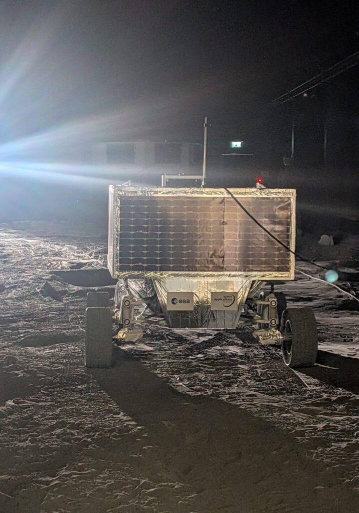
Dans le cadre de ses activités en robotique spatiale, Magellium Artal Group poursuit ses travaux sur la localisation absolue basée vision pour des missions d’exploration planétaire avec le lancement de la R&T ALMER-S (Absolute Localization for Moon Exploration Rover – Semantic).
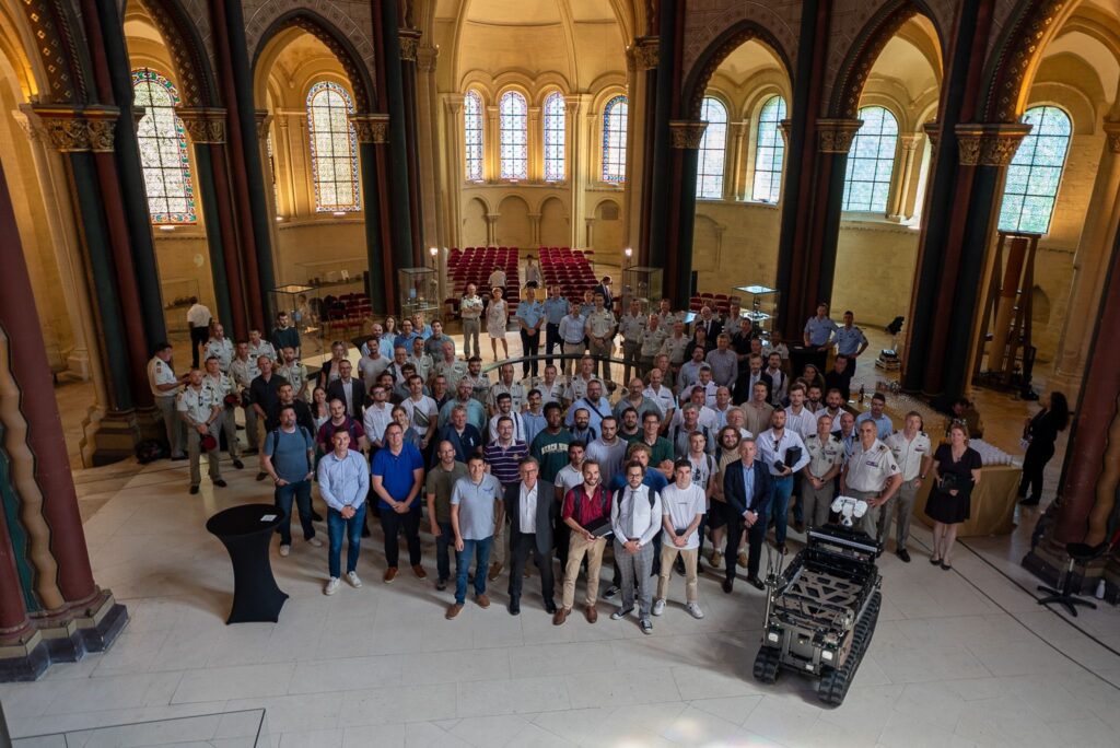
Notre équipe a récemment remporté la victoire au Challenge CoHoMa III, un challenge reposant sur la collaboration Homme-Machine en zones dites sensibles.
L’ESL Council (Expert Support Laboratory), instance formelle en charge du suivi de la performance de la mission FLEX, s'est réuni début mars dans les locaux de Magellium Artal Group.