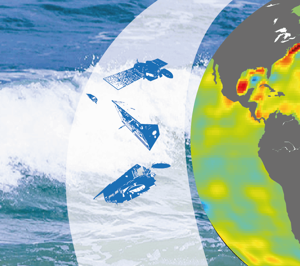
How can space observations help us measure the state of our oceans, true thermometers of climate change?
Oceans are natural sinks that absorb and store carbon from the atmosphere. The 8th Copernicus Marine Service report analyzes the state of the ocean and the impact of climate change on it. These analyses are based on space observations, in particular by applying altimetry and gravimetry techniques in which the Magellium Artal Group team has specialized for over 20 years.

Published on 1st October 2024
The ocean from space: a key indicator of climate change
With over 90% of the excess heat generated by global warming absorbed by the oceans, these immense tanks of energy are silent witnesses to climate change and the evolution of our planet. Analysed from space using gravimetry and altimetry techniques, the data collected enables us to accurately measure these impacts, particularly in terms of sea-level rise and ocean temperature. These measurements are illustrated by ESA's MOHeaCAN and 4DAtlantic-OHC projects, to which our team of engineers has been contributing for the past 5 years.
These measurements are constantly being updated, and that's precisely the mission of our team of research engineers at Magellium Artal Group, whose scientific work recently contributed to the Copernicus Marine Service(CMEMS) State of the Ocean report. This document, published annually since 2016 (with the exception of 2017), is a European Union reference report that offers a comprehensive assessment of the state of the world's oceans, aimed at scientists, legislators and decision-makers. It draws on reanalysis, remote sensing and in situ data to analyse the ocean in all its dimensions, while raising public awareness of marine issues. In this 8th report, published on September 30, Magellium Artal Group's "Climate" team contributed to two scientific articles.
Techniques for measuring climate change through our oceans
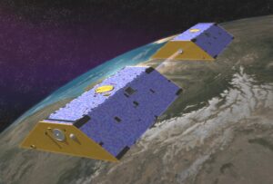
Altimetry and gravimetry, space geodesy observation techniques, allow us to accurately measure sea level rise and identify its causes.
Sea levels are rising as a result of anthropogenic global warming in two main ways. Firstly, sea levels are rising as a result of the melting of continental ice sheets, including polar ice caps and continental glaciers, due to warming of the oceans and atmosphere. Secondly, as the oceans absorb excess heat from massive greenhouse gas emissions, their volume increases. This is known as thermal expansion.
Thanks to altimetry - a method developed over 30 years ago - satellites can measure variations in ocean surface height with millimetric precision. Spatial gravimetry, on the other hand, enables us to assess the mass component of these variations, i.e. the inflow of freshwater from melting ice and the exchange of freshwater between oceans and continents.
These two techniques are complementary and effective over almost the entire ocean: while altimetry measurements detect changes in ocean volume, gravity data can be used to determine the distribution of water masses.
By combining these two measurement methods, scientists can finally estimate the amount of heat absorbed by the oceans and deduce the global energy imbalance (GEI).
Global energy imbalance is defined as the difference between incident solar energy and the energy re-emitted at the top of the atmosphere. It is the direct result of the accumulation of greenhouse gases in the atmosphere, accentuating ocean warming and accelerating sea-level rise.
Magellium Artal Group teams are working to improve the processing of these satellite observation data through several projects, financed byESA, the European Union (notably via the Copernicus Marine Service), CNRS and CNES, and carried out in close collaboration with LEGOS (Laboratoire d'Etudes en Géophysique et Océanographie Spatiales). These data can be accessed free of charge on the AVISO website, the CNES altimetry reference portal. Ocean observation products derived from spaceborne gravimetry are freely accessible on this page. Ocean heat content and Earth energy imbalance products are freely available on this page.
Accelerated ocean warming measured by space geodesy
Space geodesy makes it possible to quantify this phenomenon with the utmost precision, and the results are unequivocal: between 1993 and 2022, the oceans will continue to store heat.
Estimating the ocean's heat content and the Earth's energy imbalance relies on the ability of these space observations to detect subtle changes in ocean height and mass, making it possible to isolate these temperature variations. By measuring these variations over nearly three decades, the scientists have highlighted the rate at which the oceans are warming (0.75 W/m2 over this period), an estimate consistent with other independent estimates. The results of the study also point to a very probable increase in the energy imbalance, i.e. an acceleration in the warming of the oceans and the Earth system over the last two decades.
This underscores the importance of continuous, accurate altimetry and gravity measurements to assess the evolution of our planet's energy imbalance with ever greater rigor.
Implement more targeted metrics to measure the impacts of climate change
This article explores variations in sea level mass, known as barystatic variations on a global scale and manometric variations on a regional scale.
On a global scale, barystatic variations in sea level correspond to the transfer of water masses between continents and oceans, mainly due to the melting of polar ice caps and continental glaciers, as well as to the exchange of freshwater with major hydrological basins, such as the Amazon. On a regional scale, the redistribution of water masses linked to atmospheric and oceanic circulation must be taken into account.
This work is being carried out in collaboration with our Italian partners at CNR-ISMAR, the first authors of this article, and is based on a combination of gravimetric, altimetric and reanalysis analyses, reinforced by in situ observations.
The study of manometric variations in three major ocean basins makes it possible to identify emerging signals on monthly to multi-year time scales. By analysing data over several decades, the authors can observe how these variations are influenced by large-scale climatic phenomena, such as the El Niño Southern Oscillation or the North Atlantic Oscillation. These cyclical phenomena have a considerable impact on the distribution of water masses, triggering changes in regional sea levels on both a short-term (subannual) and long-term (interannual) scale.
A better understanding of these mechanisms is essential for understanding the drivers of sea-level variations and improving ocean general circulation models in the context of climate change. Better observations, more systematically integrated with climate models, would also improve climate change forecasts for the scientific community, policy-makers and the general public.
The contribution of this research to the scientific community and the study of climate change
The research work carried out by our team of engineers and researchers is linked and forms part of a global effort to better understand the impact of climate change on the oceans and, by extension, our planet.
The methods developed have many advantages and are complementary to conventional in situ measurement systems using floats. Satellite observations provide homogeneous data over virtually all the oceans, from the surface down to the depths, making it possible to probe areas that are difficult to access.
The methods developed also include the ability to characterise the uncertainty of satellite measurements. The results presented in these studies, however accurate, all include an uncertainty bar. Knowing the level of uncertainty associated with each metric is essential for robust and reliable interpretation.
The various studies carried out at Magellium Artal Group play an essential role in improving Earth observation tools. More broadly, this research also paves the way for more informed public policies that can help them to be more effective when facing climate challenges.